Nebuchadnezzar II had reliefs cut into the rock recording his timber expedition.
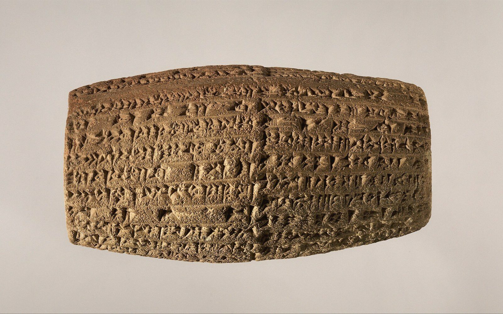 PLATE 1
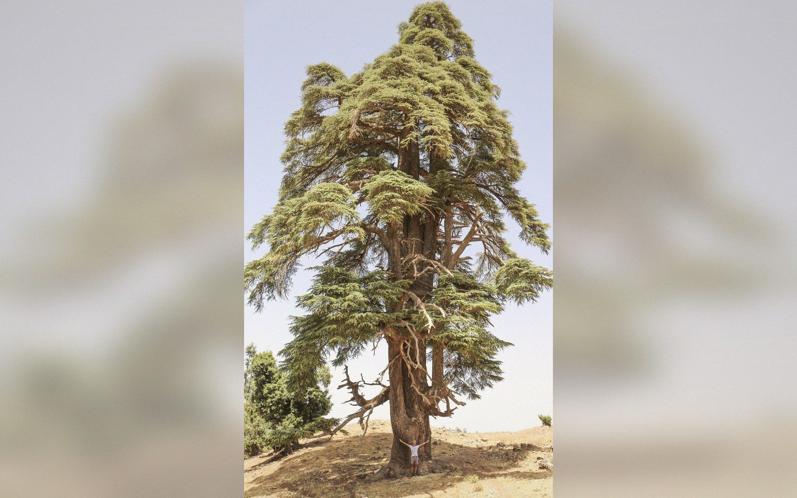 PLATE 2
Nebuchadnezzar's timber account, cut in stone
In the gorge of Wadi Brissa, in what is now the northern Lebanon mountains, Nebuchadnezzar II had two large rock panels carved to record his cutting of cedar for Babylon. The inscriptions — in Neo-Babylonian cuneiform, incised directly into the cliff face — describe the king clearing roads through the mountains, felling the cedars himself, and hauling timber back to Mesopotamia. They are among the few surviving records of the cedar trade written at the source rather than at the destination.
The site sits at approximately 34°14′N, 36°04′E, in the gorge of the Nahr al-Jawz river system feeding the Beqaa valley. The two panels are known as Brissa I and Brissa II and date to Nebuchadnezzar's reign, 605–562 BCE. The text of Brissa I is the fuller of the two: it describes the king fashioning a road through inaccessible terrain so his troops could haul cedar logs down to the coast, framing the operation as an act of piety — the timber destined for temple construction in Babylon, primarily the Esagila complex sacred to Marduk. The logs Nebuchadnezzar describes are the same Cedrus libani prized by Egyptian pharaohs and Assyrian kings before him; the Wadi Brissa texts are simply the most explicit royal account of the mechanics of getting it out.
The panels were recorded by European travellers and scholars in the nineteenth century, and squeezes — pressed paper casts of the relief surface — were made and eventually studied in detail. The cuneiform was read against the well-established Neo-Babylonian corpus; there was no decipherment problem, only the physical difficulty of working on a steep cliff face. The original panels remain in the gorge, exposed to weathering and visually diminished by erosion compared with nineteenth-century copies and photographs.
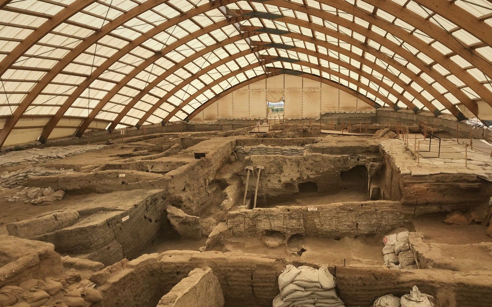 PLATE 3
What the reliefs add to the material record is specificity of logistics. Mesopotamian royal annals often claim cedar in general terms; Wadi Brissa names the mountain, the road-cutting, the workforce, and the destination. Read alongside dendroarchaeological evidence from excavated Babylonian structures and the administrative tablets recovered from Mesopotamia's palace archives, the inscriptions help calibrate the scale and organisation of long-distance timber procurement in the sixth century BCE. They document a pattern — state-directed extraction, religious justification, monumental commemoration at the point of cutting — that ran across the entire ancient Near East wherever cedar was valued and distant.
Related entries