Section 02
Sites
Where the record actually is.
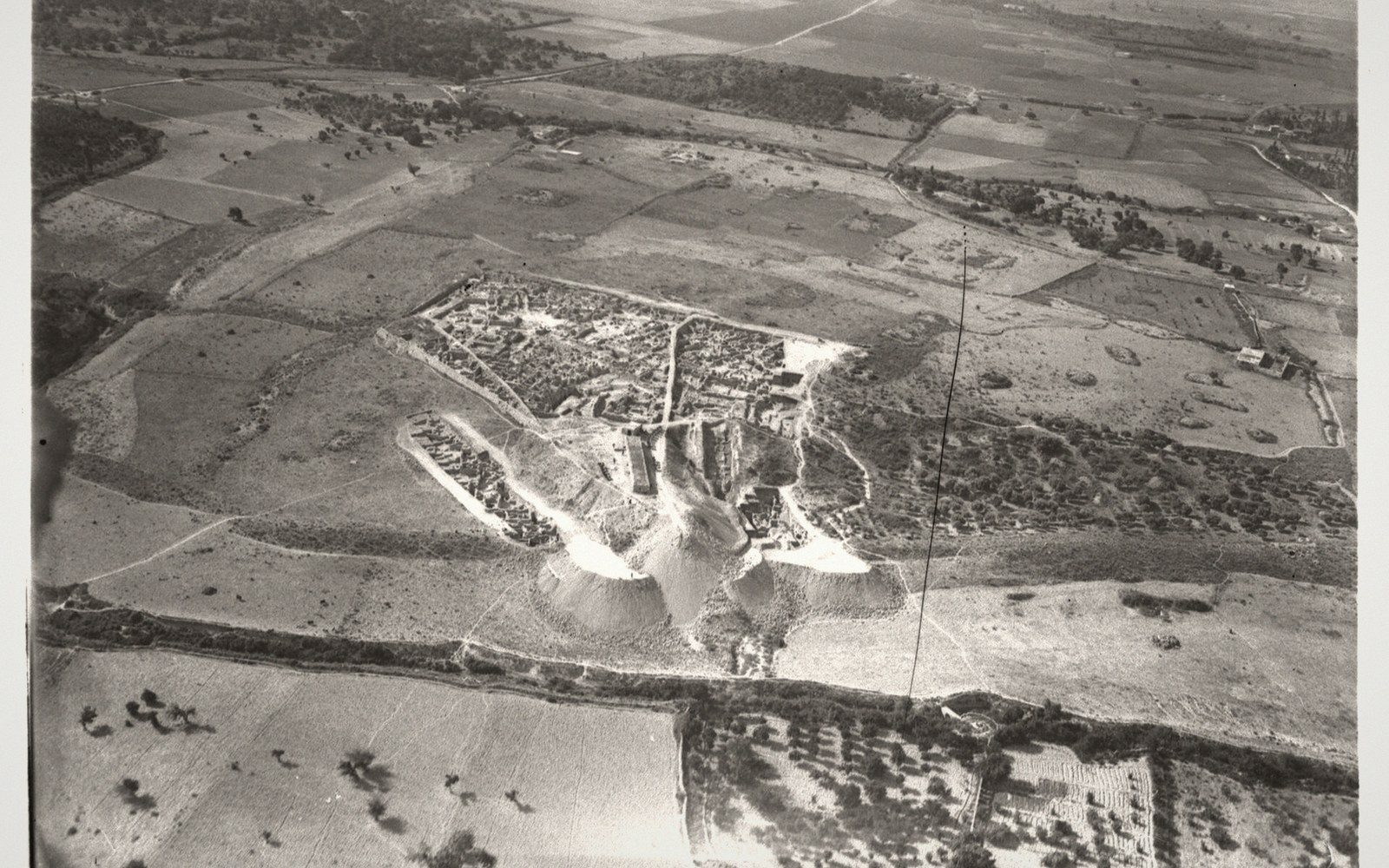 02
02Four entries on the ground itself: the tell with the archive, the headland occupied since the Neolithic, the two harbours that made the dye, and what a mound is made of.
Entries in this section
4 entries- 02.1Ugarit
Ras Shamra on the Syrian coast, a palace archive of tablets, and a city that ended abruptly around 1200 BC.
- 02.2Byblos
Continuously occupied for most of recorded history, and the source of the Greek word for book.
- 02.3Tyre and Sidon
Two harbours, a dye industry and a colonising reach that ran to the western Mediterranean.
- 02.4What a tell is
A mound made of its own previous cities, and why stratigraphy reads as a calendar.
Register of sites
With attribution →| No. | Site or holding | Material | Position |
|---|---|---|---|
| 01 | Ras Shamra (Ugarit)Tell and palace archive, Syrian coast | Alphabetic cuneiform tablets; the abecedary | 35.6019 N 35.7817 E |
| 02 | Byblos (Jbeil)Headland occupied since the Neolithic | Ahiram sarcophagus; royal shaft tombs | 34.1233 N 35.6519 E |
| 03 | Sidon (Saïda)Double harbour, dye and glass | Murex shell mound; monumental tombs | 33.5571 N 35.3729 E |
| 04 | Tyre (Sour)Island city, joined to the shore | Crushed murex deposits | 33.2705 N 35.2038 E |
| 05 | Serabit el-KhadimTurquoise mines and temple of Hathor, Sinai | Proto-Sinaitic inscriptions | 29.0386 N 33.4592 E |
| 06 | Wadi BrissaGorge in the northern Lebanon range | Two rock panels of Nebuchadnezzar II | 34.2500 N 36.4000 E |
| 07 | Uluburun, off KaşWreck on a slope at 44–52 metres | Copper, tin and glass ingot cargo | 36.1281 N 29.6864 E |
| 08 | National Museum of BeirutWhere the Byblos material went | Ahiram sarcophagus; Phoenician metalwork | 33.8938 N 35.5018 E |
| 09 | National Museum of DamascusWhere the Syrian share of Ras Shamra went | Ugaritic tablets, stelae, sculpture | 33.5138 N 36.2765 E |