Ernest Renan arrived on the Phoenician coast in 1860 with a French government commission, a scholarly reputation, and methods that archaeology would spend the next century trying to correct.
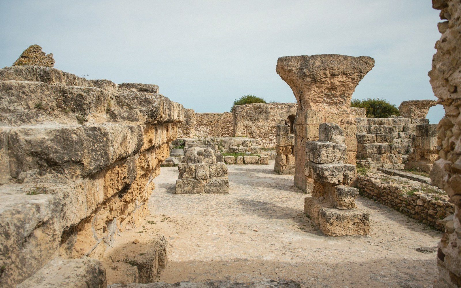 PLATE 1
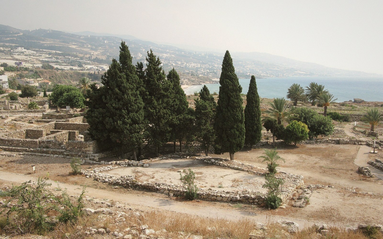 PLATE 2
A Survey That Cut Both Ways
The Mission de Phénicie was a French state expedition charged with recording the ancient sites of the Lebanese and Syrian littoral. Renan — a philologist already known for his work on Semitic languages — led the team from 1860 to 1861, producing a monumental illustrated report, Mission de Phénicie, published between 1864 and 1874. The volume remains a primary record of sites and inscriptions as they stood in the mid-nineteenth century, which is precisely its lasting value: Renan saw things that are now gone.
The work moved quickly through Byblos, Sidon, and Tyre, recording architectural remains, inscriptions and funerary monuments. At Byblos — Jbeil, at roughly 34.122° N, 35.648° E — the team uncovered sarcophagi and epigraphic material that would feed Phoenician scholarship for decades. Renan's philological eye was genuinely sharp: he could read what he found, and his copies of inscriptions were careful enough to be usable.
The excavation practice, however, was not careful at all. The Mission operated without controlled stratigraphy — layers were removed to reach objects of textual or artistic interest, and the depositional context that a later excavator would read as a calendar was simply discarded. Trenches were cut for inscriptions and stonework; ceramic sequences, the mundane but chronologically decisive material, drew little sustained attention. Large-scale clearance was the method of the moment across European excavation practice, and Renan was no outlier in this regard — but the Phoenician sites bore the cost regardless.
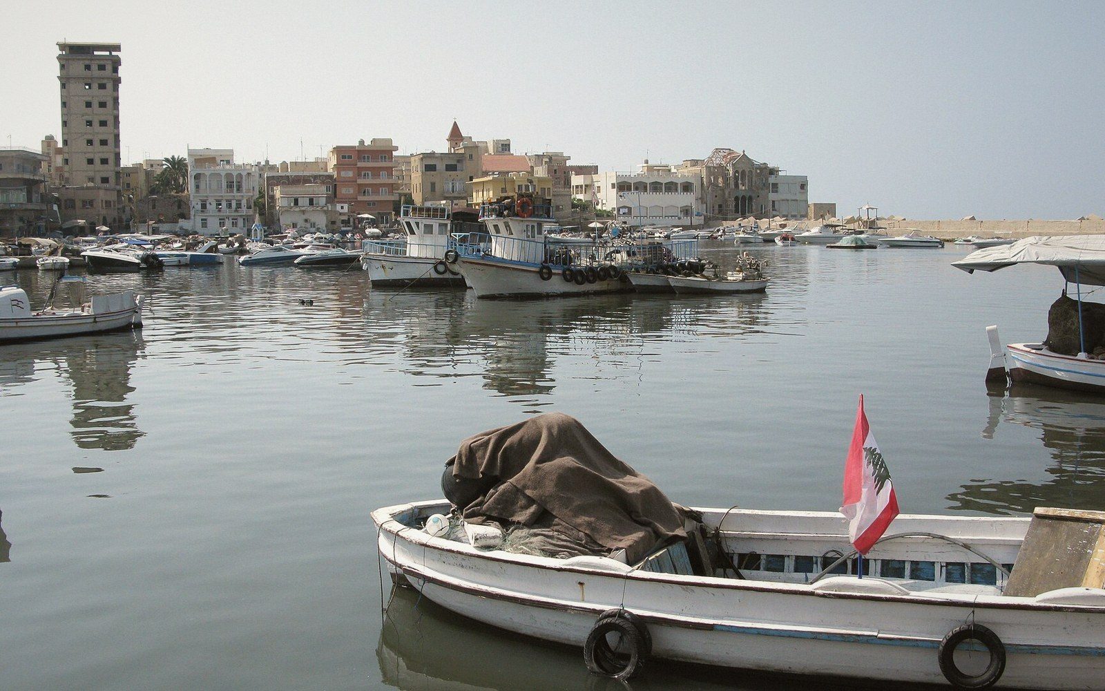 PLATE 3
At Sidon (33.563° N, 35.371° E), the expedition documented monumental tombs and gathered objects that entered European collections, the Musée du Louvre among them. The institutional logic of the age ran straight from excavation trench to metropolitan museum, and the Mission de Phénicie fed that current efficiently. What the provenance chain looks like from the other end is a question that subsequent scholarship and the National Museum of Beirut have had cause to revisit.
What survives of the Mission's value is documentary. The published plates and site descriptions reached sites before industrialisation and urban expansion erased surface features; the inscriptions Renan copied have in several cases outlasted the stones themselves. It is the kind of usefulness that comes with a condition attached — that you know precisely what kind of record you are reading, made by what kind of practice, with what kinds of loss already built in.
Related entries