A plough caught a tomb roof in 1928, and the excavation that followed ran for four decades.
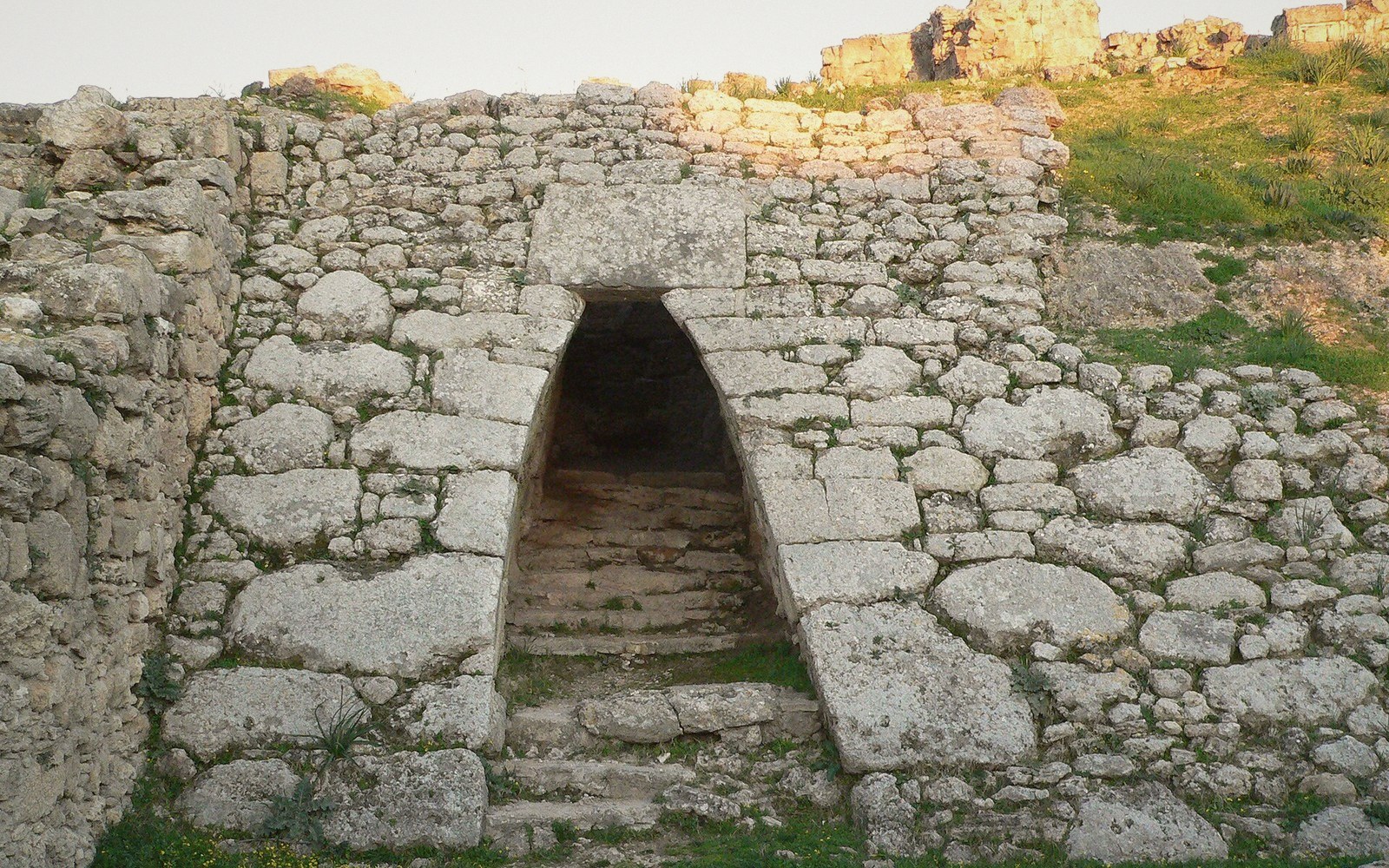 PLATE 1
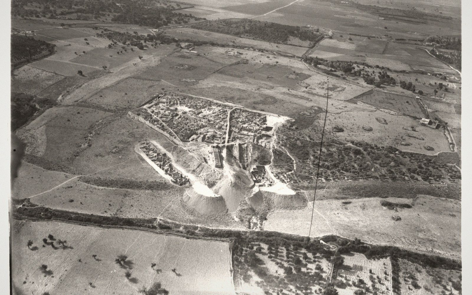 PLATE 2
The Accident and the Man
In the spring of 1928, a farmer working a field near the Syrian coastal village of Minet el-Beida struck something solid with his plough. What he had found was the roof of a Late Bronze Age tomb, and the find reached French authorities quickly enough that a preliminary inspection confirmed a site of exceptional depth. Claude Schaeffer, then a curator at the Strasbourg museum, arrived with colleague Georges Chenet the following year to begin formal excavation. He was thirty years old. He would still be directing work at Ras Shamra — the mound behind the harbour — forty years later.
Schaeffer's training was in European prehistory, not Near Eastern archaeology, and that gap showed in some of his early interpretive moves. But his organisational energy and his willingness to excavate on a wide horizontal front suited the site. Ras Shamra is a tell — a mound built from the compressed debris of successive cities — and beneath the Late Bronze Age palace quarter lay layers going back to the Neolithic. Schaeffer's team cut through roughly ten metres of accumulated occupation, establishing a stratigraphic sequence that is still the backbone of the site's chronology.
The Tablets and the Decipherment
Within the first seasons, excavators uncovered a priestly building — known from the finds as the "Maison du Grand Prêtre" — that produced tablets covered in an unfamiliar cuneiform script unlike the Akkadian and Sumerian texts known from Mesopotamia. The tablets were in a previously unknown alphabetic cuneiform: Ugaritic, written in wedge impressions on clay but encoding consonants, not syllables. The decipherment came with startling speed: Hans Bauer, Édouard Dhorme and Charles Virolleaud worked out the sign values between them in 1930–1931, working partly from the tablets Schaeffer's dig was producing season by season. Virolleaud, who had epigraphic access through the French Mandate authorities, published the texts as they emerged, and the collaboration — competitive as it was — resolved the script within roughly a year of the first competent scholarly attention.
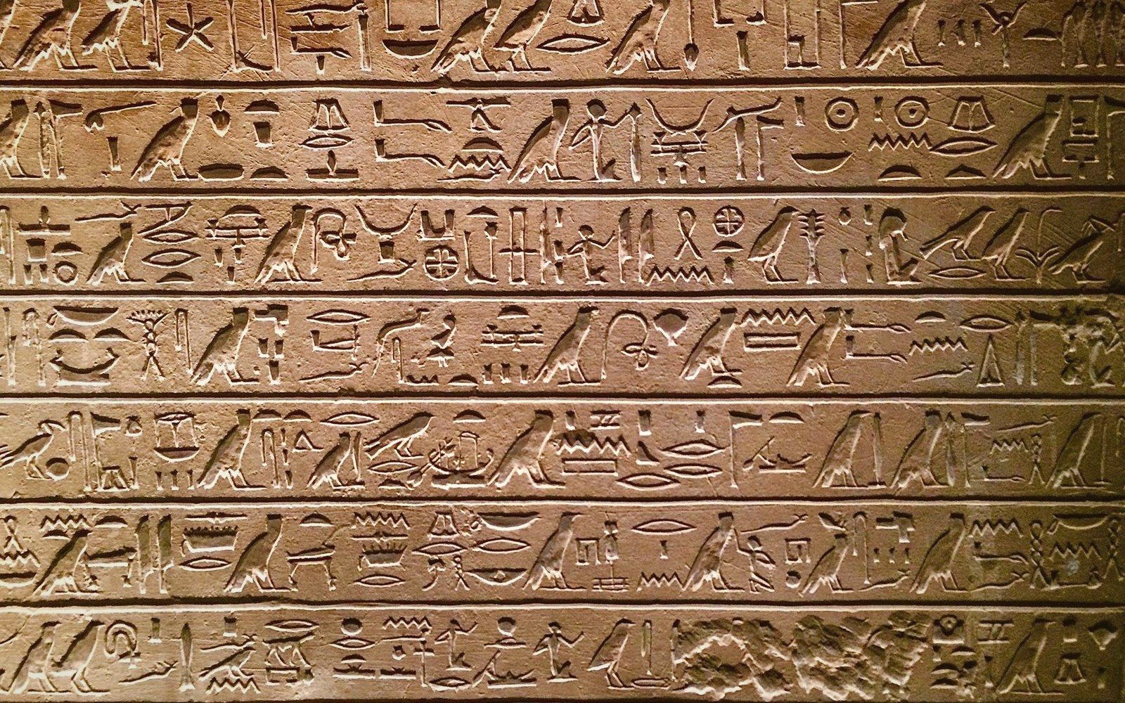 PLATE 3
What the tablets contained rewrote understanding of ancient Canaanite religion and literature. Mythological cycles involving Baal, El, Yam and Mot; administrative records; diplomatic correspondence; a Ras Shamra abecedary tablet that fixed the letter order. The palace archive alone yielded thousands of texts in multiple languages — Ugaritic, Akkadian, Hurrian, and others — making Ras Shamra one of the most linguistically dense Bronze Age sites ever excavated.
Scale, Method and Legacy
The excavation ran until 1939, when war halted it. Schaeffer resumed in 1948 and continued directing the French mission at Ras Shamra through the 1960s and into the 1970s. The site's coordinates are approximately 35.6028° N, 35.7697° E, on a low mound near the modern port of Latakia. Over those decades, the dig uncovered the Late Bronze Age city grid with some completeness: a palace of substantial size, two major temples — one attributed to Baal, one to Dagon — residential quarters, and extensive evidence of craft production including bronze-working and ivory carving.
Schaeffer's publications were voluminous but sometimes slow, and the pace at which he produced stratigraphic synthesis drew criticism. Later scholars working with his notebooks and field records have periodically revised the stratigraphy he proposed. His comparative ambitions were also large and sometimes overreaching — he attempted to link destruction layers across the eastern Mediterranean to a single catastrophic sequence of earthquakes, a thesis that has not held up against subsequent evidence. The Late Bronze Age collapse that ended Ugarit around 1185 BCE is now understood as a convergence of pressures, not a single seismic event.
What is not in dispute is the scale of what Schaeffer brought to light. The palace archive, the mythological tablets, the material evidence of a cosmopolitan trading city — all of it emerged under his direction. Objects from Ras Shamra are held across several institutions: the National Museum of Damascus, the Musée du Louvre in Paris, and, for Syrian state objects, in collections established through the French Mandate framework. The Louvre's Ugaritic holdings remain among the most significant concentrations of the site's written record outside Syria.
Related entries