Two Phoenician harbour cities whose purple dye and merchant ships shaped the ancient Mediterranean economy.
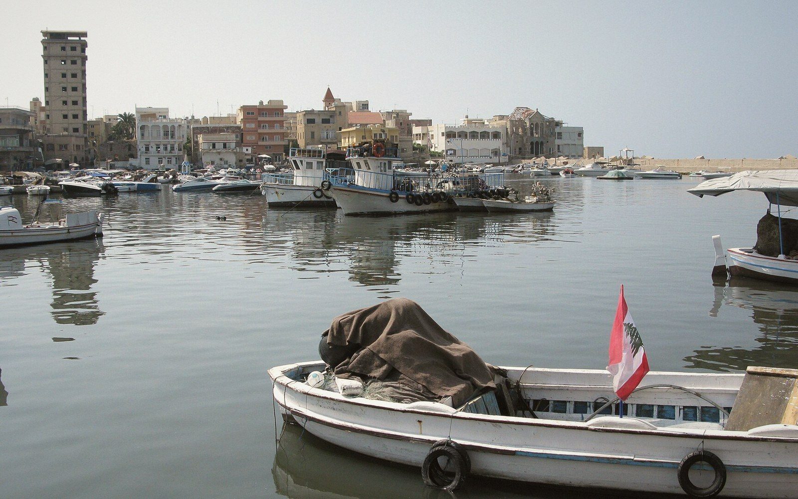 PLATE 1
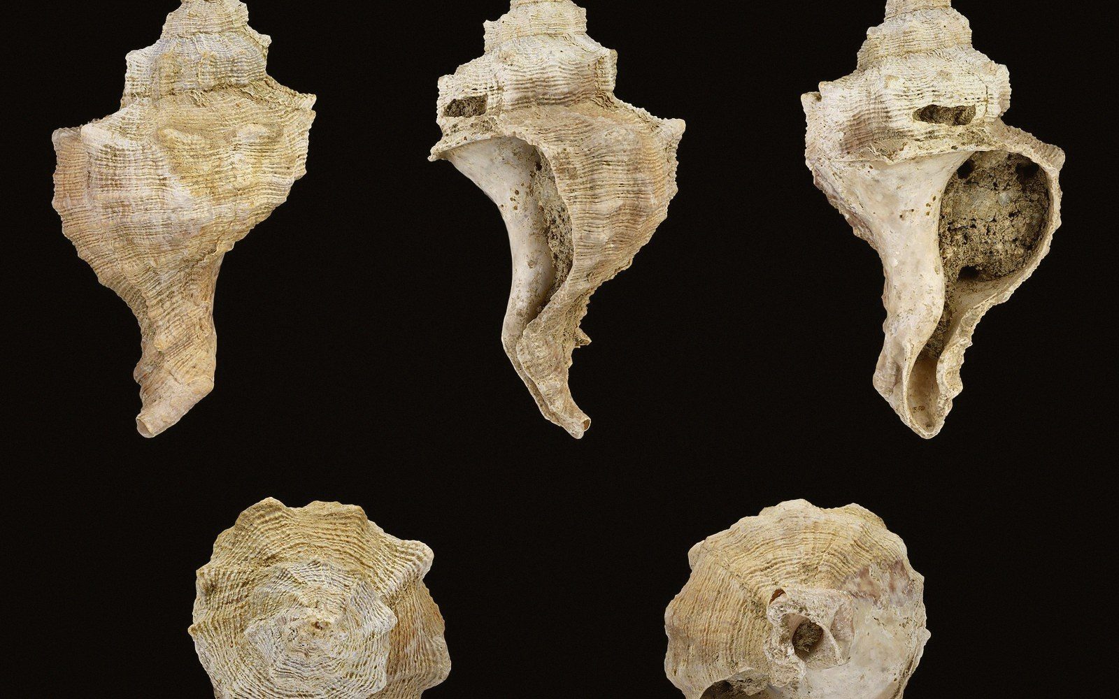 PLATE 2
Two Cities, One Coast
Tyre and Sidon sit roughly forty kilometres apart on the Lebanese coast — Sidon (modern Saïda, 33°33′N 35°22′E) to the north, Tyre (modern Sour, 33°16′N 35°11′E) to the south — and for most of the first millennium BC they were the commercial engines of the Levant. Both cities built their wealth on the same combination: sheltered double harbours, a hinterland rich in cedar timber, and direct access to murex beds thick enough to sustain an industrial dye trade.
The murex evidence is not metaphorical. Crushed shell middens outside both cities — some metres deep, still reeking of the processing residue that gives Phoenician purple its smell — record the sheer volume of Hexaplex trunculus and Bolinus brandaris cracked and discarded season after season. The mounds outside Tyre are among the largest known; those at Sidon are comparably substantial. Together they represent one of the best-preserved waste records of any ancient industry.
Tyre's geography gave it a particular character. The original city occupied a small island, converted by Alexander the Great into a peninsula in 332 BC when he built a causeway during his siege — sediment accumulation has since widened it permanently. That island position made the city nearly impregnable under normal conditions and gave it two separate harbours, one facing north and one south, so ships could find shelter whatever the wind. Sidon, on the mainland, had its own northern and southern basins and controlled the more direct land routes inland toward Damascus.
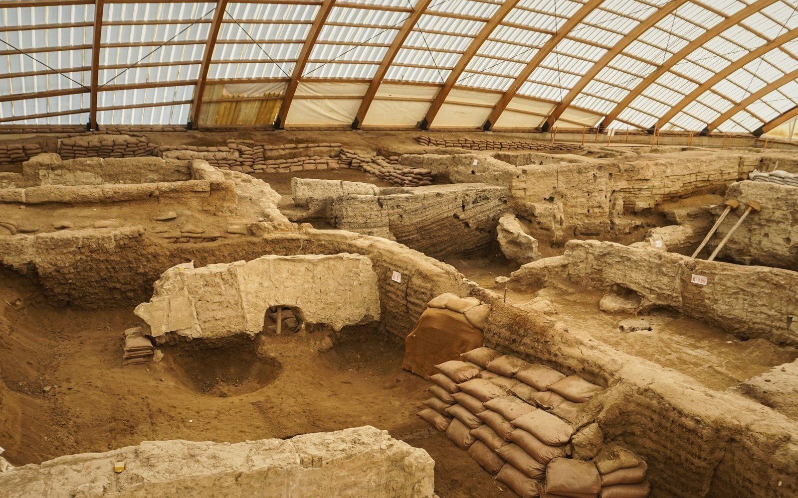 PLATE 3
Both cities sent out colonies. Carthage, in modern Tunisia, was the most consequential — traditionally founded from Tyre in the ninth century BC, though the archaeological record at Carthage does not yet confirm a date that early. The colonising reach also extended to Cyprus, Sardinia, Spain and beyond, establishing a trading network that preceded Greek western expansion by generations.
Excavation at both sites is complicated by continuous occupation. Sidon has yielded important finds — Persian-period sarcophagi now in the Istanbul Archaeological Museums, Iron Age levels reached beneath the medieval town — and recent rescue work has added detail to the sequence. Tyre is more constrained: the modern city sits directly over the ancient one, and systematic stratigraphic work has been limited. What the excavations have confirmed is occupation running from at least the Early Bronze Age, with the Iron Age levels representing the city's commercial peak.
Objects from both sites are distributed across the National Museum of Beirut (33°53′N 35°30′E), the Musée du Louvre, and the Istanbul Archaeological Museums, reflecting the layered excavation history of the coast.
Related entries