The Syrian coastal city whose clay archive survived the Bronze Age collapse that killed it
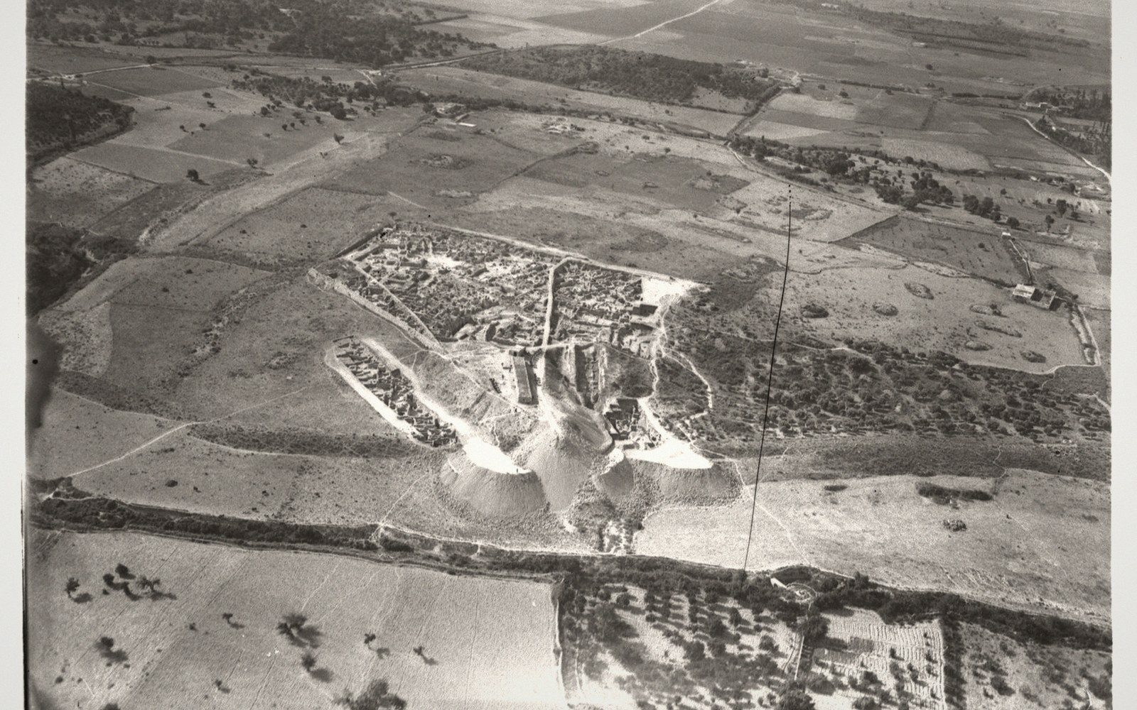 PLATE 1
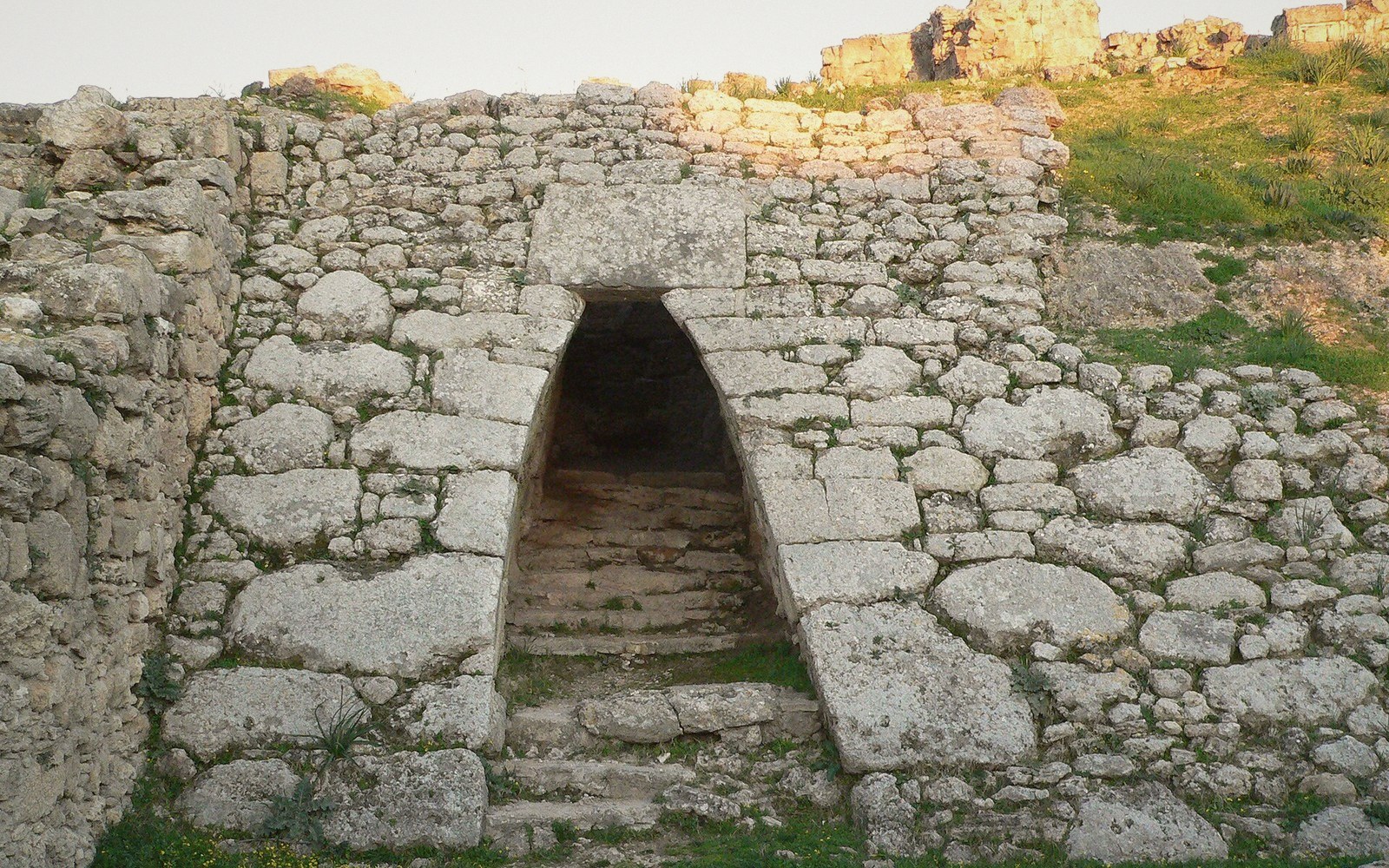 PLATE 2
A City Built on Clay and Cedar
The mound of Ras Shamra (35°36′N, 35°47′E) stands roughly a kilometre from the Syrian coast near modern Latakia, and it contains one of the best-documented cities in the ancient Levant. The tell — a mound formed by centuries of occupation layered on occupation — reaches about twenty metres high, and at its peak the city beneath it, Ugarit, was a cosmopolitan trading hub connecting Egypt, Mesopotamia, the Aegean and Cyprus. Its heyday ran through the Late Bronze Age, roughly 1400–1185 BC, when it served as both a palace economy and a deep-water port.
Claude Schaeffer began excavating Ras Shamra in 1929 after a Syrian farmer's plough struck a tomb roof in a nearby field. Within the first seasons, his team uncovered something transformative: a palace archive of baked clay tablets in multiple languages — Akkadian, Sumerian, Hurrian, Cypro-Minoan, Egyptian, Luwian and Ugaritic. Ugaritic was a cuneiform alphabet, thirty letters pressed into clay, previously unknown. Its decipherment in 1930 — achieved within months by Hans Bauer, Édouard Dhorme and Charles Virolleaud working independently and in partial collaboration — is one of the fastest in the history of epigraphy. The tablets they read gave scholarship access to Canaanite mythology, administrative records, diplomatic correspondence and religious poetry that no other site had preserved.
The Palace, the Port and the Texts
The Royal Palace of Ugarit is the largest excavated Bronze Age palace on the Levantine coast — a multi-wing complex covering roughly nine thousand square metres, with courtyards, storage magazines and archives distributed through its rooms. The archives are where the city speaks most clearly. Tablets record grain shipments, lists of craftsmen, letters to the Hittite king, complaints about delayed deliveries of copper. The administrative correspondence makes oxhide copper ingots traceable as a unit of commerce: Ugarit received them from Cyprus and redistributed them inland.
The port itself, Minet el-Beida, lies about a kilometre west of the tell and was excavated alongside Ras Shamra. Finds there included Mycenaean pottery, Egyptian objects and Cypriote storage jars — physical evidence of the same international network documented in the tablets. The city's material culture was notably hybrid: ivory carvings in Egyptian style made by craftsmen who also knew Aegean motifs; gold bowls with imagery that mixes Canaanite and Mesopotamian conventions.
Ugaritic cuneiform was also where the oldest known alphabet sequence was found — a tablet from the site listing all thirty letters in order, an abecedary that establishes the alphabet as a teachable, transmissible sequence rather than an ad hoc collection of signs. That sequence is ancestral to the letter order still used today.
 PLATE 3
1185 BC and the End of Everything
Ugarit's final destruction is archaeologically sudden. A layer of burnt debris and collapsed mudbrick marks the city's end at roughly 1185 BC. No later occupation overlies it; the city was abandoned and never rebuilt. Among the last tablets found in the ruins were letters describing raids by sea — ships attacking the coast, stores burned, harvest gone. These were unsent correspondence, still in the kiln when the city died. The episode belongs to the wider Late Bronze Age collapse, a systemic failure that ended palace economies across the eastern Mediterranean in the same generation.
The tablets and portable finds from Ras Shamra are distributed between the Musée du Louvre in Paris, the National Museum of Damascus and institutions holding material from the French mission. Schaeffer's excavations ran under French mandate, and the division of finds followed the arrangements of that era — a history that the entry on where the objects went traces in detail. Work at Ras Shamra has continued in subsequent decades under Syrian and joint missions, refining the stratigraphy of a city that was already, by any measure, extraordinarily well-preserved in clay.
Related entries