Centuries of occupation, levelled and rebuilt: how a mound becomes its own archive.
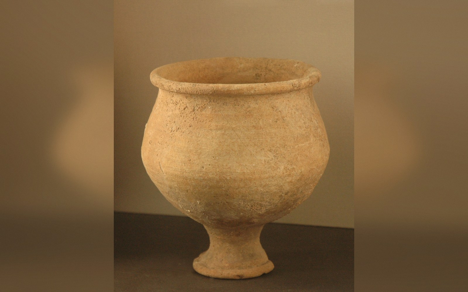 PLATE 1
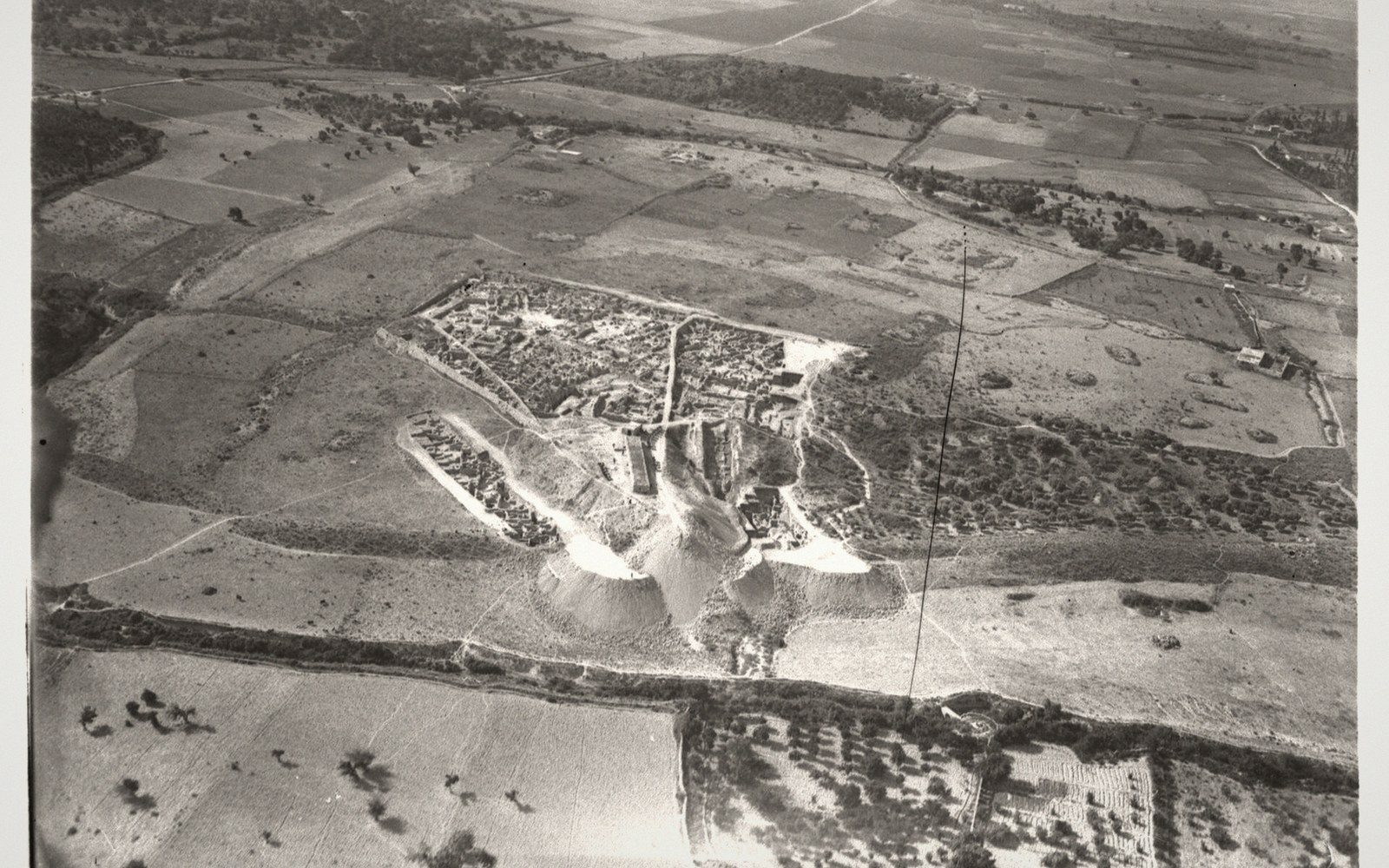 PLATE 2
The mound and what made it
A tell — from the Arabic tall, hill — is not a natural landform. It is a city's accumulated debris: collapsed mudbrick, ash layers from fires, accumulated floor deposits, rubbish pits, and the levelled foundations of each building phase laid flat before the next one went up. Settle in one place long enough, and the ground rises. Some tells in the Levant stand ten or fifteen metres above the surrounding plain. The height is purely human.
Mudbrick is the key ingredient. Unlike stone, which gets robbed and reused indefinitely, mudbrick dissolves in rain and stays put. When a room collapsed or a building was abandoned, occupants typically spread the rubble level, packed it down, and built again on top. Each rebuilding cycle added a new floor level — a stratum — to the sequence. Over centuries, those strata stack like pages, each sealing whatever lay beneath it.
Stratigraphy is the discipline of reading that stack. The principle is simple: lower layers are older. A potsherd, a bronze pin or a cylinder seal found in a given layer belongs, at the latest, to the period when that layer was sealed. Combined with radiocarbon dating and cross-references to objects whose date is already known — Egyptian scarabs with royal cartouches, Cypriot pottery types — stratigraphic sequence becomes a calendar. Excavators assign each stratum a level number (usually descending from surface to bedrock) and correlate events to it: a destruction by fire, a palace rebuilding, an abrupt change in ceramic style.
 PLATE 3
Ras Shamra, the tell that covers ancient Ugarit on the Syrian coast (coordinates 35.600°N, 35.752°E), illustrates the method at its sharpest. Claude Schaeffer's excavations from 1929 onward revealed a sequence running from Neolithic occupation near the base to a Late Bronze Age destruction layer near the top — a layer scattered with undelivered letters still in their clay envelopes, frozen at the moment the city ended around 1185 BC. The mound preserved what no surface site could: the sealed, datable moment of collapse.
Byblos (34.120°N, 35.648°E) presents the opposite challenge: a tell so continuously occupied, and so heavily built over in Hellenistic and Roman periods, that earlier layers were disturbed before systematic excavation was possible. The mound's depth is a record of occupation; its upper strata are also a record of later interference.
A tell, then, rewards patience and punishes shortcuts. Dig it too fast, and the sequence is lost. Read it carefully, and the mound tells you not just what was there, but in what order everything happened.
Related entries